Subject: Atlases
Period: 1829 (published)
Publication:
Color: Hand Color
Size:
11 x 14 inches
27.9 x 35.6 cm
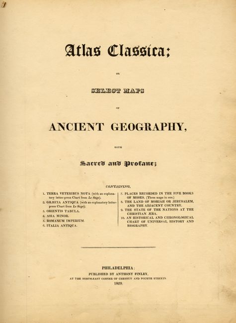
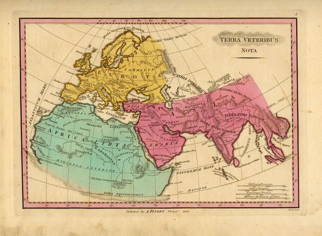
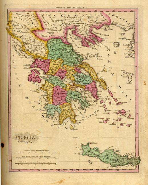
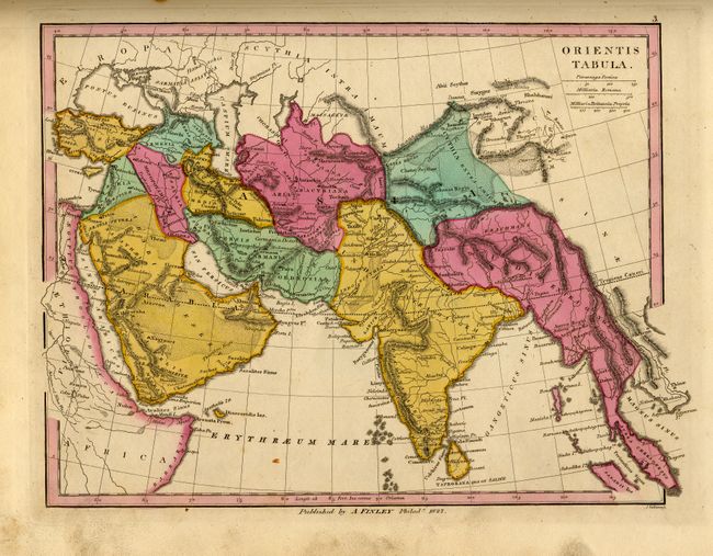
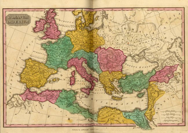
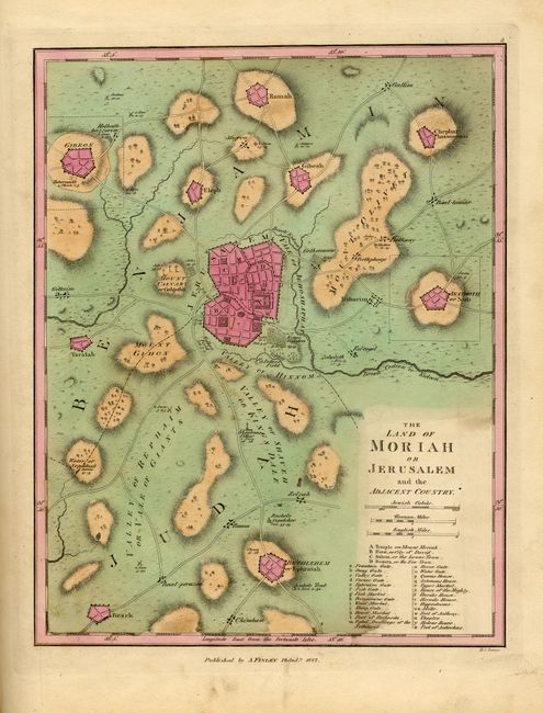
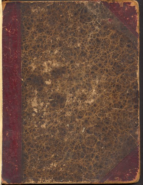
Complete folio atlas hardbound in marbled paper and quarter leather. The signatures are loose from the binding, but is complete and tight. Contents are blank end papers, title and contents page, 10 maps. All of the copper engraved maps are very well engraved with beautiful original full hand coloring. All maps are full-page unless otherwise stated, maps are in very good condition unless noted. The maps include: Terra Veteribus Nota (with a separate explanatory folding chart from Le Sage); Graecia Antiqua (with a separate explanatory folding chart from Le Sage), good condition with a few tiny spots and some surface soiling; Orientis Tabula; Asia Minor Antiqua; Romanum Imperium, double-page, a little offsetting and short split on lower centerfold; Italy Antiqua; The Places Recorded in the Five Books of Moses, with inset of The Eastern Countries as mentioned by Moses, and another inset Canaan Aram &c.; The Land of Moriah or Jerusalem and the Adjacent Country; State of Nations at the Christian area From the Pinkerton on the Goths; and Romani Imperii &c Typus as an scroll style inset on a double page Historical Chart. According to Ristow, these maps were engraved by the talented early Philadelphia engravers H.S. Tanner, J. Vallance and J. Thackara.
References:
Condition: B
Cover has rough spine and contents are loose from covers. Bright color and strong impression on all maps. Worthy of the attentions of a binder.