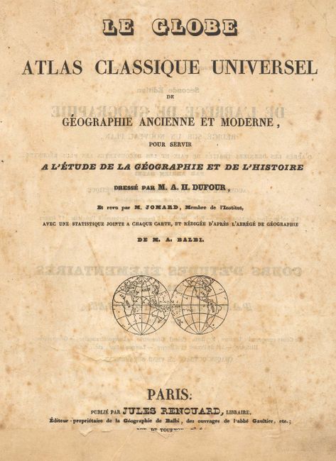
Subject: Atlases
Period: 1828 (circa)
Publication:
Color: Hand Color
Size:
9 x 10 inches
22.9 x 25.4 cm
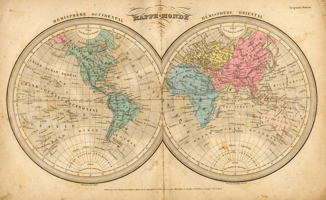
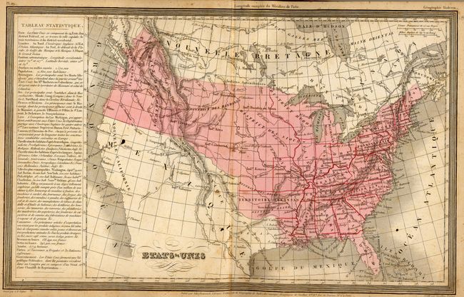
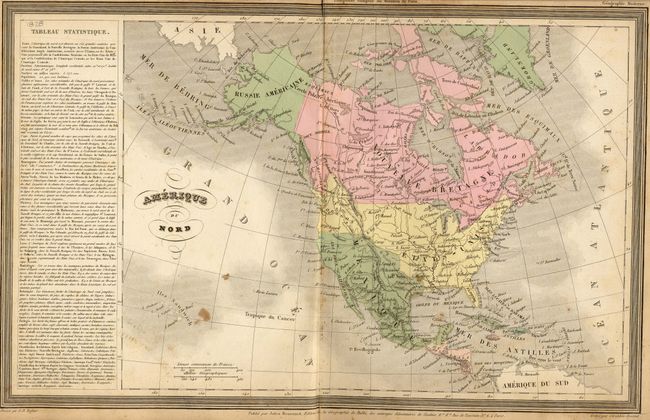
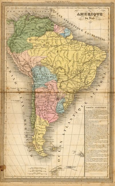
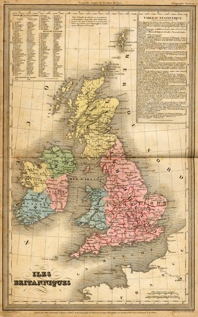
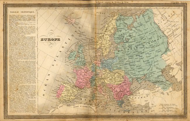
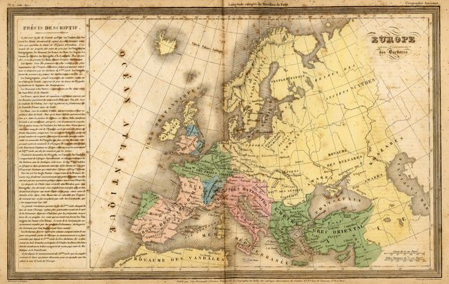
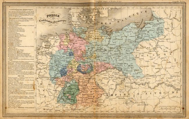
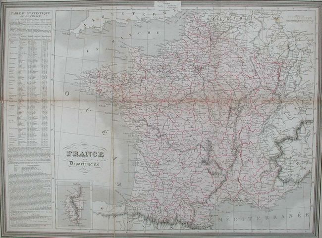
This complete atlas of modern and classical geography includes 32 modern maps and 9 of the ancient world. All maps are double-page and measure approximately 15 x 9.4 inches plus a large folding map (20.2 x 14.8") of France in Departments. The folding map has a tear into map from binding trim. The map of the United States features a large Arkansas Territory that extends to Texas, and the U.S. extending well into today's British Columbia and Alberta in the Northwest. Most catalog descriptions erroneously credit this atlas with 33 modern maps, but the large map of France is plate 13 & 14. Boards with marbled paper, cloth spine, title page, list of maps, 41 maps. All maps are hand colored and printed on one side with blank versos. The maps cover the modern and old world with good detail, with numerous tables at side and occasional insets. It is interesting to note that the publisher used lined notebook paper for the backstraps, and add a pasted down title page over the existing title page. The title page also has paper reinforcement at top and bottom pasted over the other two sheets.
References:
Condition: B
Signatures are tight but separated from cover. Cover nearly separated at front from spine. Fine, light scattered foxing on most pages. Ancient map of the Roman Empire is missing paper at lower centerfold well into map.