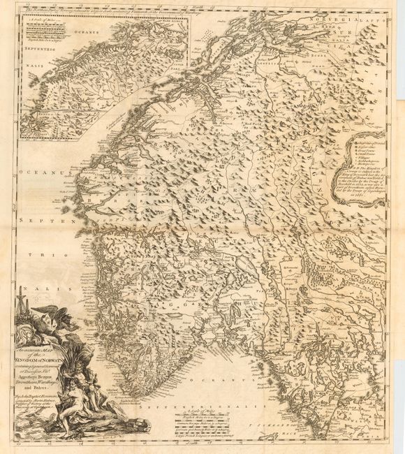
"An Accurate Map of the Kingdom of Norway, containing 5 general Governments of Diocesses … Aggerhuys Bergen Drontheim, Wardhuys, and Bahus", Homann, Johann Baptist
Subject: Norway
Period: 1755 (circa)
Publication: Natural History of Norway
Color: Black & White
Size:
19.2 x 22.2 inches
48.8 x 56.4 cm
Very detailed and strongly engraved chart after Homann that was corrected by Martin Hubner, Professor of History at the University of Copenhagen. The sheet includes a large inset of the northwest portion of Norway; filled throughout with topographical details and place names. The decorative pictorial title cartouche features a crown and three figures including a winged man. The legend cartouche contains an interesting note describing the relationship that Norway and Bahus have with Denmark and Sweden based on the Treaty of Roschild (1658), and the Treaty of Copenhagen of 1660. From an English translation by Erik Pontapadan. A scarce issue.
References:
Condition: B
Good impression on thick hand laid paper. Issued folding, now pressed. Light offsetting visible in blank areas and some toning along folds.