Subject: Europe
Period: 1860 (dated)
Publication: New General Atlas
Color: Hand Color
Size:
13 x 11.5 inches
33 x 29.2 cm
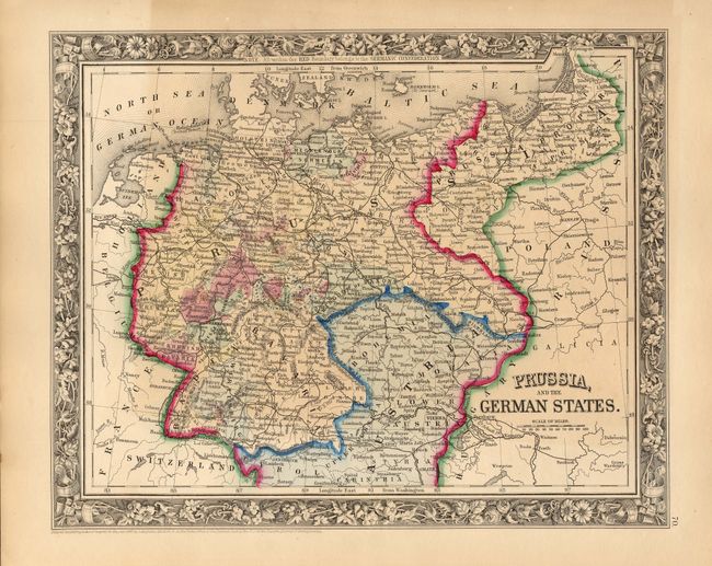
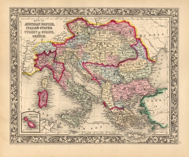
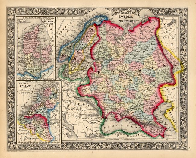
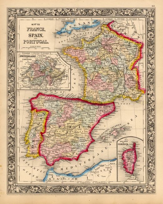
This lot includes a set of four matching maps that are from the first edition of this atlas. Each map features the beautifully engraved floral borders, fine engraving and strong color characteristic of the first edition. All are very well detailed with scores of place names, roads, lakes, rivers, and political divisions. Dimensions are approximate for each map.
1) "Prussia, and the German States."
2) "Map of the Austrian Empire, Italian States. Turkey in Europe and Greece" with an inset of the "Maltese Islands."
3) "Russia in Europe, Sweden, and Norway" with insets "Map of Denmark," and "Map of Holland and Belgium."
4) "Map of France, Spain, and Portugal" with two insets "Switzerland in Cantons" and "Island of Corsica."
References:
Condition: A
All with beautiful impression, fine color and original margins. A little soiling in margins, map images are fine except Prussia, which has varied toning.