Catalog Archive
Auction 114, Lot 307

"Iles de l'Amerique situees dans l'Ocean Septentrional avec toutes leurs Cotes, Bayes, et Ports, suivant les Relations", Aa, Pieter van der

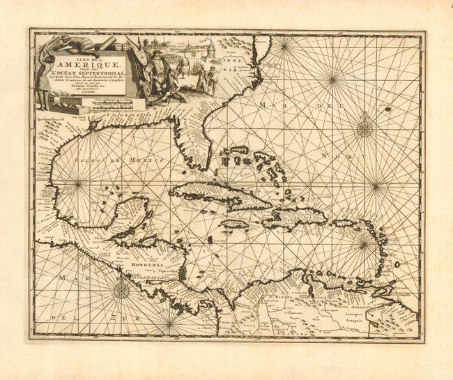
Subject: Gulf of Mexico and Caribbean

Period: 1729 (published)

Publication: La galerie agreable du monde

Color: Black & White

Size:
14 x 11 inches
35.6 x 27.9 cm
Download High Resolution Image
(or just click on image to launch the Zoom viewer)

Rare and beautifully engraved chart focusing on the West Indies and covering the region from Chesapeake Bay through the Gulf of Mexico, with Central America and the northern part of South America. The map includes very good coastline detail. A pictorial title cartouche fills the interior of North America and shows Native Americans trading with Europeans and a small view of Havana harbor in the background. The chart is further enhanced with compass roses and rhumb lines.

References:

Condition: A

Superb impression. Couple of light spots in map and in blank margins, still nearly fine.

Estimate: $1,600 - $1,700

Sold for: $1,000

Closed on 3/1/2006

Archived