Subject: New York
Period: 1912 (circa)
Publication:
Color: Printed Color
Size:
29 x 26.8 inches
73.7 x 68.1 cm
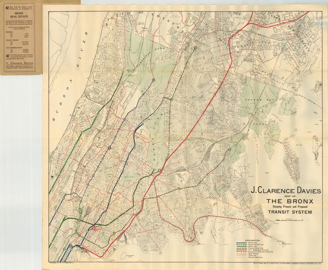
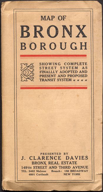
A large real estate development pocket map for the J. Clarence Davies Real-estate company in the Bronx. The map folds into linen paper wrappers, titled "Map of Bronx Borough Showing Complete Street Systems as Finally Adopted, and Present and Proposed Transit Systems." The map extends to include parts of New Rochelle and Yonkers. Locates several parks including Pelham Bay, Van Cortlandt, and the Bronx Park. The legend locates Elevated Lines, Proposed Elevated Lines, Subway Lines and proposed lines, NY Westchester & Boston Railway, Steam Railroads, and Trolley Lines. A great land promotion map in fine condition that was published by the A.R. Ohman Map Co.
References:
Condition: A+
The linen covers with a little soiling and two short marginal tears. The map is a lovely example.