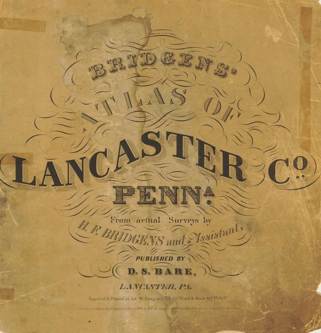
Subject: Atlases
Period: 1864 (dated)
Publication:
Color: Hand Color
Size:
16 x 16 inches
40.6 x 40.6 cm
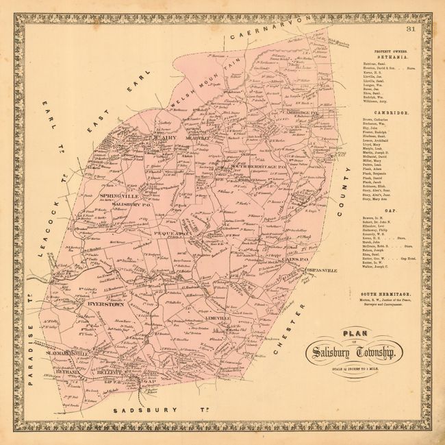
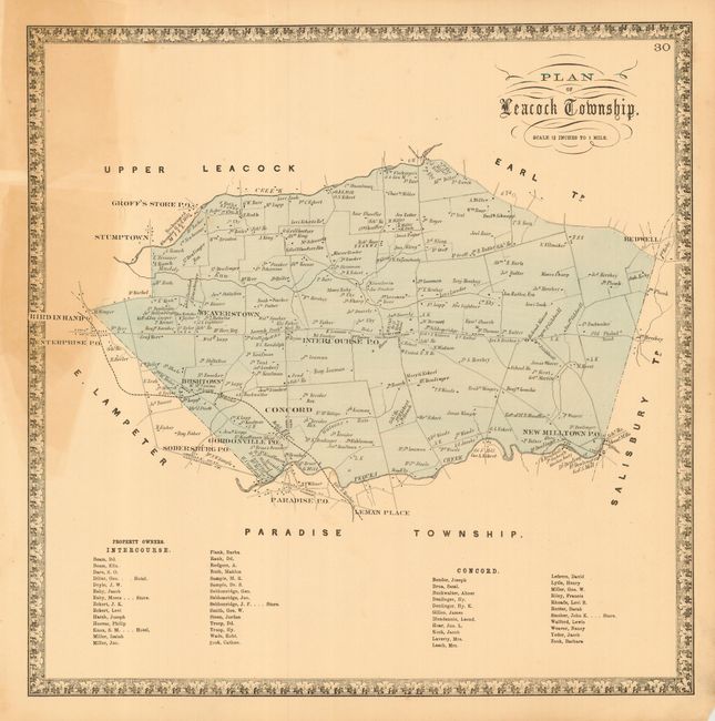
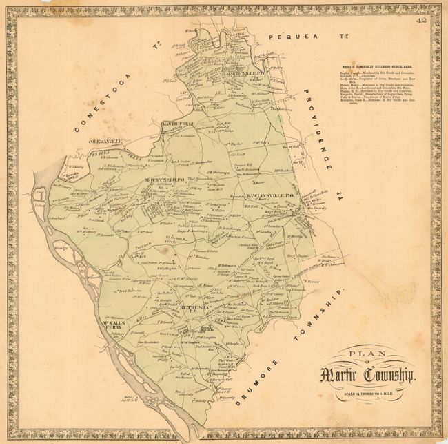
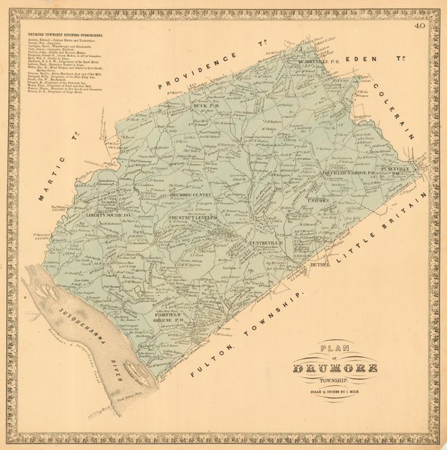
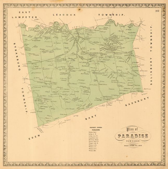
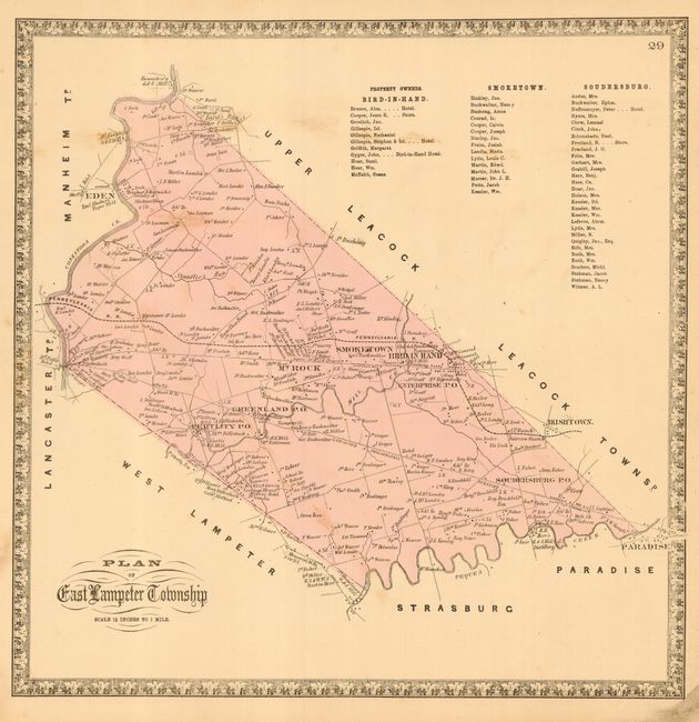
This is the very rare folio county atlas by H. F. Bridgen that was published by D.S. Bare of Lancaster. The superb town plans are drawn on a scale 500 - 900 feet to one inch. The townships are shown on a scale of 1.25 - 2 inches to 1 mile, and show great detail of rivers, roads, property owners, business subscribers, and more. Includes an extra map of Sadsbury Township from another edition and an extra map of Pennsylvania that is in terrible condition and is pasted down to inside front cover. Hardbound with leather label on front cover. Bridgens is credited with creating the first county atlas. The atlas is not complete and is nearly completely disbound. Includes the front and back boards, title page, list of maps with distance table on verso, one advertising page, and thirty-six full-page maps. Three maps are missing: the plan of the city of Lancaster, and the maps for Earl and Warwick townships. This is a rare atlas that is worthy of being completed, restored and rebound.
References:
Condition: C
Contents loose. Most of the maps are good condition with full margins to facilitate rebinding. The first few pages and the last several maps are in much worse condition with marginal chips, rough margins with some loss, stains, etc.