Subject: Atlases
Period: 1857 (published)
Publication:
Color: Printed Color
Size:
10 x 14.5 inches
25.4 x 36.8 cm
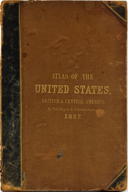
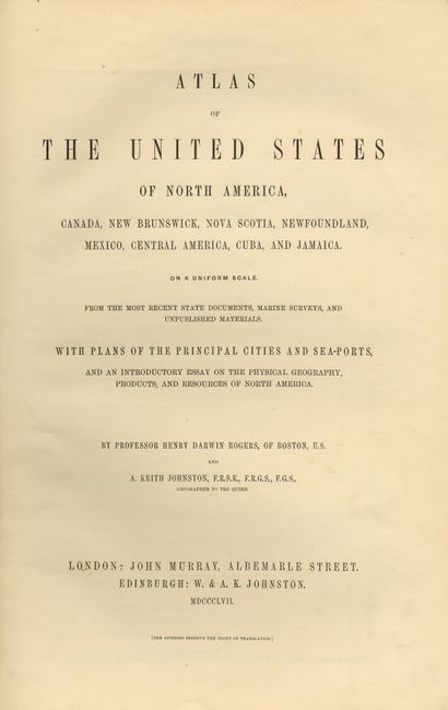
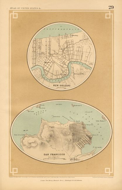
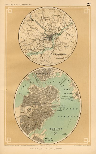
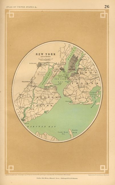
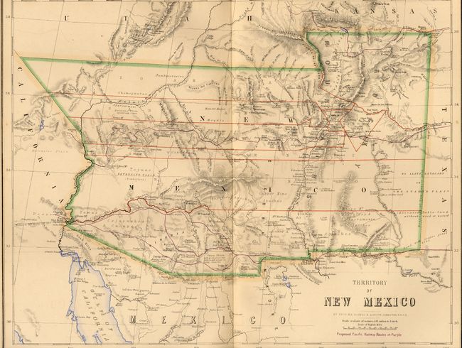
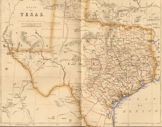
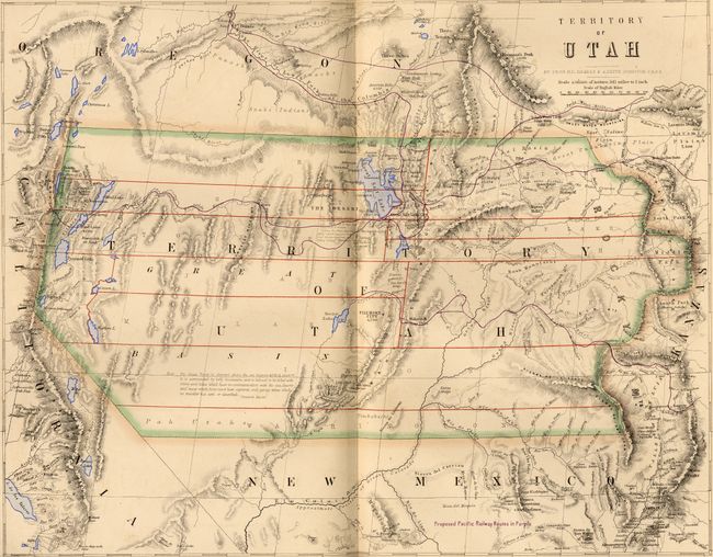
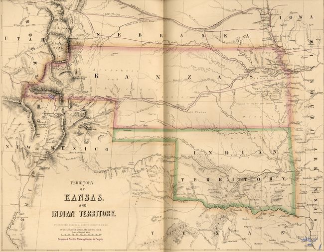
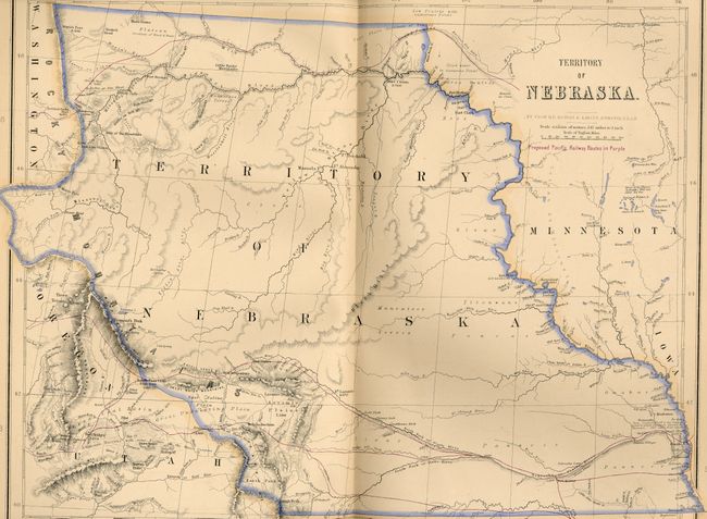
This terrific tall folio atlas is the result of an unusual cartographic collaboration between an American (Rogers) and a Scot (Johnston). The atlas includes beautifully engraved maps and perhaps the best examples of Scottish mapmaking in the pre civil war period. Of special note are the important maps of western states and territories; Territory of Utah, Territory of New Mexico, State of California and the State of Texas. The General Map of the United States shows Free & Slave-holding states through coloring. Contains 24 double-page maps and five single-page town plans detailing the cities of Quebec, Montreal, New York, Philadelphia, Boston, Cincinnati, Louisville & Jeffersonville, New Orleans, and San Francisco. Hardbound in brown cloth with quarter calf, embossed gilt titling. Title page, Contents, text on North America, maps and plans. Gilt to all edges of maps (TEG).
References: Rumsey #3825; Phillips (M) #3670.
Condition: A
Maps are all very good to fine. Binding is rubbed and stained with front cover detached. Contents and signatures are tight.