Catalog Archive
Auction 113, Lot 805

"Australia - Sheet I Torres Strait Western Channels", British Admiralty
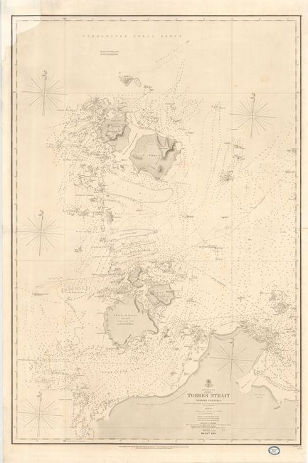
Subject: Australia

Period: 1860 (dated)

Publication:

Color: Black & White

Size:
25.3 x 38.5 inches
64.3 x 97.8 cm
Download High Resolution Image
(or just click on image to launch the Zoom viewer)

Superb, large-scale sea chart detailing the northern tip of Queensland and the islands in the Torres Strait. The chart was based on the surveys made by the crew of the H.M.S. Rattlesnake in 1848-49. It was originally published in 1855 and here updated to 1860. Paper label of Blundell & Ford, Stationers at Melbourne in bottom blank margin.

References:

Condition: B

Couple of pencil course notations in chart. Paper restoration of top left corner with skilled facsimile of the border but no loss of cartographic information.

Estimate: $120 - $150

Sold for: $110

Closed on 12/7/2005

Archived