Catalog Archive
Auction 113, Lot 733

"Map of Hindostan", Gall & Inglis
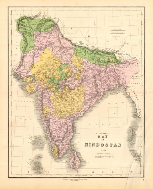
Subject: India

Period: 1850 (dated)

Publication:

Color: Hand Color

Size:
17 x 21.5 inches
43.2 x 54.6 cm
Download High Resolution Image
(or just click on image to launch the Zoom viewer)

Attractive and very detailed map of India showing British territories, territories under British protections and independent states.

References:

Condition: A

Original color. Faint toning on fold which has been professionally reinforced with light Japanese tissue. Soft crease at bottom corner. Remnants of hinge tape on verso.

Estimate: $100 - $150

Sold for: $75

Closed on 12/7/2005

Archived