Catalog Archive
Auction 113, Lot 578

"Partie Septentrionale de la Russie Europeenne ou sont Distingues Exactement toutes les Provinces d'apres le Detail de l'Atlas Russien", Robert de Vaugondy
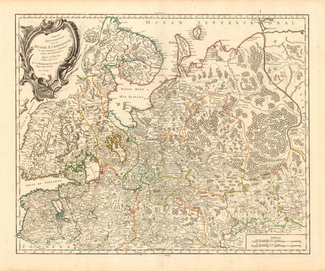
Subject: Russia

Period: 1753 (dated)

Publication: Nouvel Atlas Portatif

Color: Hand Color

Size:
23.3 x 19 inches
59.2 x 48.3 cm
Download High Resolution Image
(or just click on image to launch the Zoom viewer)

This large and remarkably detailed chart covers the region from the Gulf of Finland and St. Petersburg east to the Ural Mountains, here called the Monts Payas. Locates Riga in Poland and shows Moskow in the extreme south within the map's border. Includes most of Finland and northwestern Russia. Details include much topographical detail of mountains, rivers and forests and scores of place names. Large uncolored decorative title cartouche.

References: Pedley #79.

Condition: A

Very fine impression and original outline coloring. Printed on a full sheet of hand laid paper with wide, original margins.

Estimate: $140 - $160

Sold for: $100

Closed on 12/7/2005

Archived