Catalog Archive
Auction 113, Lot 476
"Tabula Galliae", Munster/Petri
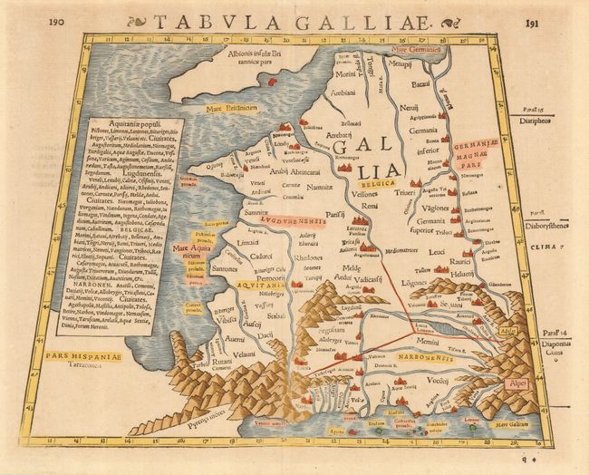
Subject: France
Period: 1571 (circa)
Publication: Strabonis Rerum Geographicarum…
Color: Hand Color
Size:
13 x 10 inches
33 x 25.4 cm
Download High Resolution Image
(or just click on image to launch the Zoom viewer)
(or just click on image to launch the Zoom viewer)