Catalog Archive
Auction 113, Lot 466

"Ducatus Brabantiae Nova Tabula in qua Lovanii Bruxellarum March S. Impreii Sylvae Ducis et Merchliniae Dominia…", Homann, Johann Baptist
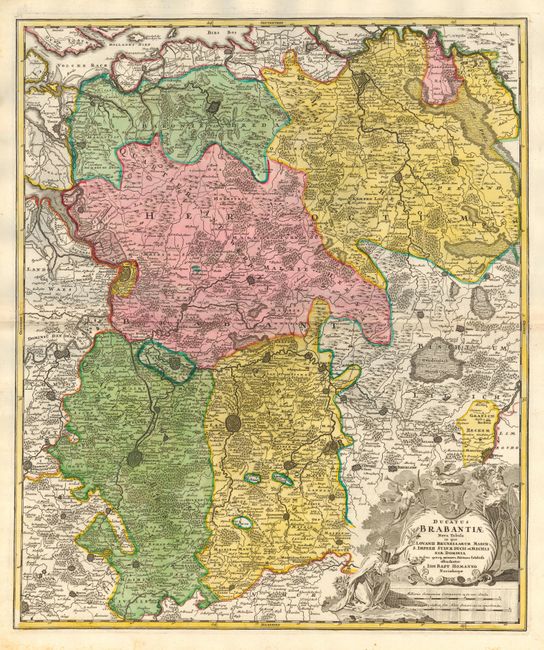
Subject: Belgium

Period: 1716 (published)

Publication: Grosser Atlas

Color: Hand Color

Size:
19 x 22.8 inches
48.3 x 57.9 cm
Download High Resolution Image
(or just click on image to launch the Zoom viewer)

This fully engraved copperplate map covers Flanders and the border with The Netherlands. Centered on the large fortress of Louvain, site of the first university in the Low Countries. Also delineated are the walled and fortified cities of Antwerp, Brussels, Niville, Mechelen, Sandvliet, Breda, Megen, Eyndhoven, Tilmont and more. Very decorative figurative title cartouche with coat of arms, soldiers and putti. An attractive map of the important medieval Duchy of Brabant.

References:

Condition: A+

Faint foxing in margins, still fine.

Estimate: $300 - $350

Sold for: $220

Closed on 12/7/2005

Archived