Subject: Atlases
Period: 1852 (dated)
Publication:
Color: Hand Color
Size:
14 x 17.2 inches
35.6 x 43.7 cm
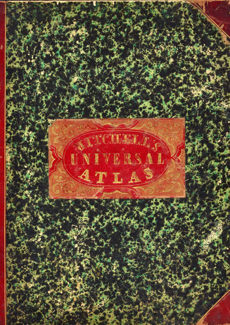
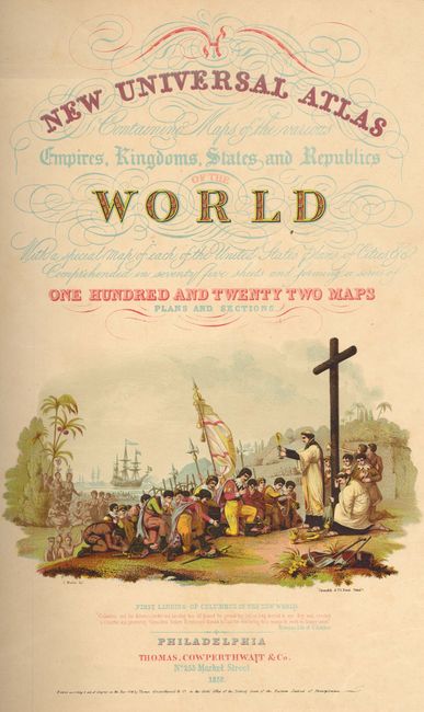
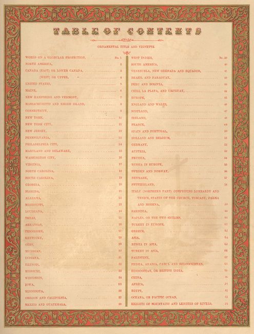
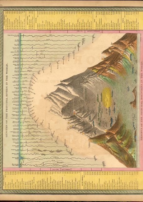
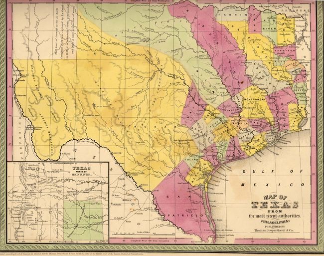
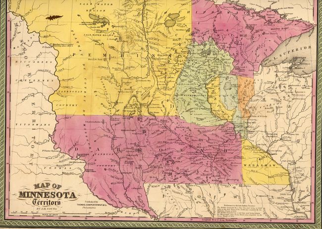
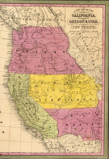
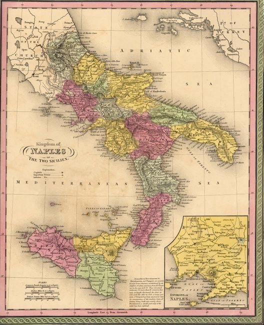
The title continues "With a special map of each of the United States Plans of Cities &c. Comprehended in seventy five sheets and forming a series of one hundred and twenty two maps plans and sections." Folio atlas published by Thomas, Cowperthwait & Co. Contains 74 maps of which 36 are related to North America. All are beautifully engraved, hand colored and surrounded by decorative borders. Hardbound, "Lengths of the Principle Rivers and Heights of the Principle Mountains of the World" as frontis, chromolithographic title page with large colored vignette of Columbus landing in the New World, duplicate title page, Table of Contents, maps and plates, 74 pages. Original green marble paper boards with gilt-stamped red label, quarter red leather spine and corners.
References:
Condition: A
Maps with fine original color and good impression, generally very good. Front cover detached. Covers and spine worn and rubbed. Contents and signature tight.