Catalog Archive
Auction 112, Lot 495

"Archiepiscopatus et Electoratus Moguntinus…", Lotter, Tobias Conrad
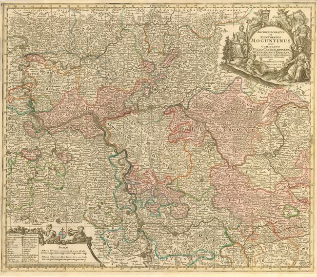
Subject: Germany

Period: 1760 (circa)

Publication:

Color: Hand Color

Size:
22.5 x 19.2 inches
57.2 x 48.8 cm
Download High Resolution Image
(or just click on image to launch the Zoom viewer)

Large and highly detailed map portraying the region of the Upper Rhine around and along the Rhine and Main Rivers in southwest Germany. The city of Frankfurt is centrally located. The map spans from the city of Speyer in the south to Wetzlar in the north, as well as Koblenz in the west to Wurzburg in the east. The map is adorned with decorative title and scale cartouches featuring putti, soldiers and grapevines.

References:

Condition: A

Original color. Margins slightly trimmed but still more than adequate for framing.

Estimate: $300 - $350

Sold for: $170

Closed on 9/28/2005

Archived