Catalog Archive
Auction 112, Lot 159

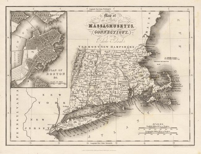
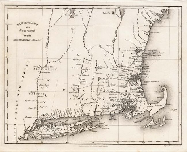
"[Lot of 2] Map of the States of Massachusetts, Connecticut, and Rhode Island [and] New England and New York in 1697 From the Magnalia Americana", Hinton, John Howard

Subject: New England

Period: 1832 (dated)

Publication: The History and Topography of the United States

Color: Black & White

Size:
10 x 7.2 inches
25.4 x 18.3 cm
Download High Resolution Image
(or just click on image to launch the Zoom viewer)

Pair of nice little maps of part of New England. First includes a large inset plan of Boston with excellent detail of mountains, rivers, roads, lakes, towns, and a host of other information. Second is based on Cotton Mather's influential history of New England, which detailed the religious and political development of the region from 1620 to 1698. Mather was highly influential in both secular as well as religious matters and was one of the leaders responsible for the Salem witch trials. The map shows only two roads with settlement confined along rivers and the coastline. The pair provide an interesting comparison of the regions between 1697 and 1832.

References:

Condition: A+

Estimate: $200 - $250

Sold for: $210

Closed on 9/28/2005

Archived