Catalog Archive
Auction 112, Lot 150

"Map of the United States of America (Charte der Vereinigten Staaten von Nord America)", Melish, John

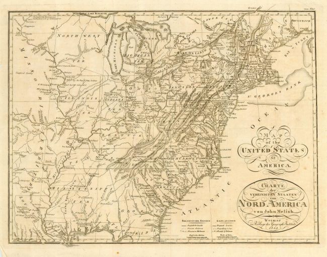
Subject: Eastern United States

Period: 1819 (dated)

Publication:

Color: Black & White

Size:
17 x 13 inches
43.2 x 33 cm
Download High Resolution Image
(or just click on image to launch the Zoom viewer)

This is a scarce German issue of Melish's important map that first appeared in "Statistical Account of the United States" in 1813. The map is filled with Indian tribes, forts, and early settlements. Several early western territories are shown including North West Ter., Indiana, Illinois, Missouri and Mississippi. Of particular note is the notation of several major roads with notations of distances between cities.

References:

Condition: B

Folding as issued. Bit of light foxing, else very good.

Estimate: $400 - $500

Sold for: $375

Closed on 9/28/2005

Archived