Catalog Archive
Auction 112, Lot 107
"Carte qui represente les differentes connoissances que l'on a eues des Terres Arctiques…", Robert de Vaugondy, Didier
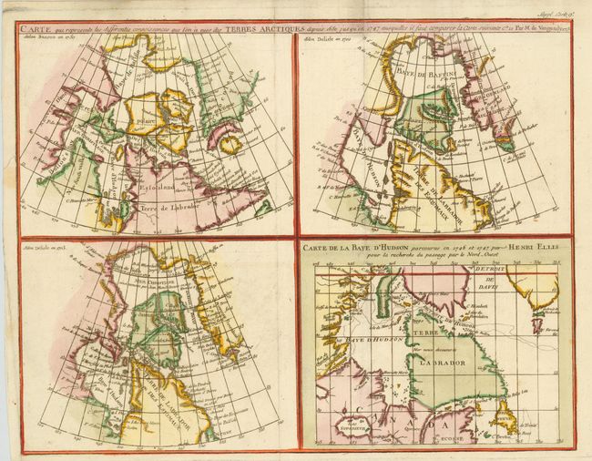
Subject: Canada
Period: 1773 (dated)
Publication: Diderot's Encyclopedie
Color: Hand Color
Size:
14.7 x 11.5 inches
37.3 x 29.2 cm
Download High Resolution Image
(or just click on image to launch the Zoom viewer)
(or just click on image to launch the Zoom viewer)