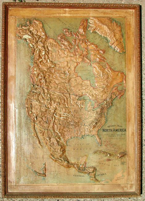
"Relief Map of North America", Central School Supply House
Subject: North America
Period: 1899 (dated)
Publication:
Color:
Size:
27 x 40 inches
68.6 x 101.6 cm
A rarely offered relief map that shows the entire continent in very good detail. This map is a remarkable demonstration of craftsmanship that is composed of layers of cloth, plaster and papier mache, molded to show the topography of the continent. Includes a large untitled inset showing the Aleutian Islands. Coloring is a combination of printed and hand coloring. In its original carved wooden frame, measuring 34" x 47.5". This map was recovered from a school house in Tombstone, Arizona.
References:
Condition: A
Minor darkening of varnish and surface soil.