Subject: Atlases
Period: 1889 (dated)
Publication:
Color: Hand Color
Size:
14.2 x 19.5 inches
36.1 x 49.5 cm
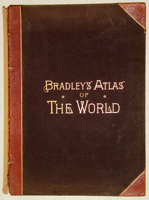
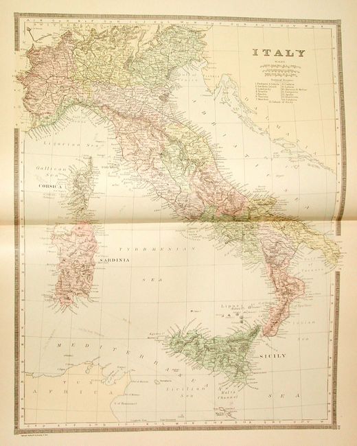
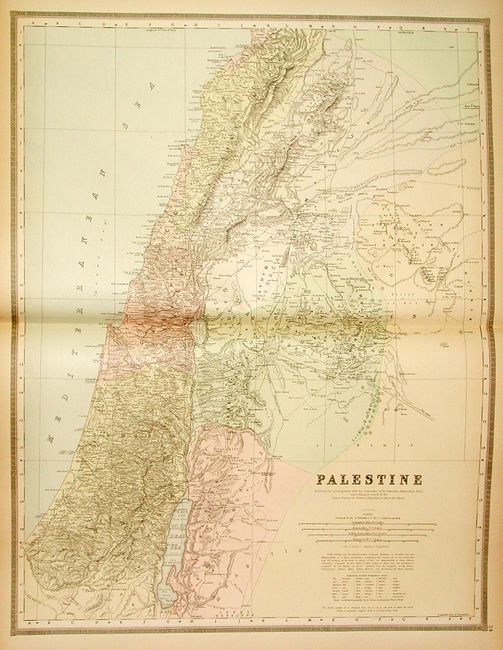
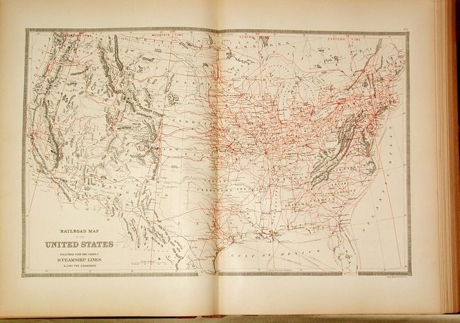
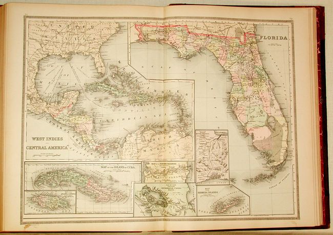
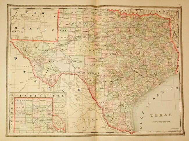
Very fine complete American and world atlas, divided into two sections (Eastern Hemisphere and Western Hemisphere). Complete atlas with 76 hand-colored lithographed maps, mostly double-page, plus numerous insets and small maps. Contains two double-page maps of the United States, one of which is a great railroad map with printed red route lines and 36 other state and regional map of the United States including a map of Long Island and an extra double-page map of Massachusetts, not called for in index. Bound in original quarter calf and brown pebble cloth, lettered in gilt, all edges gilt. A perfect candidate for the atlas collector, needing only minor binding repair.
References:
Condition: A
Spine missing and boards loose. Contents very fine.


