Subject: Atlases
Period: 1870 (published)
Publication:
Color: Hand Color
Size:
13 x 15.7 inches
33 x 39.9 cm
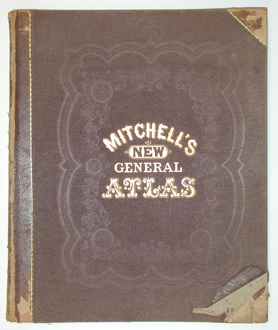
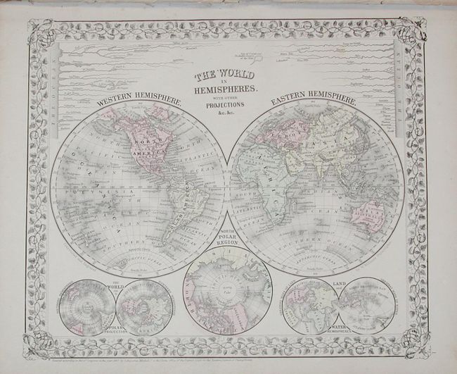
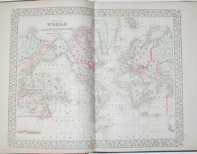
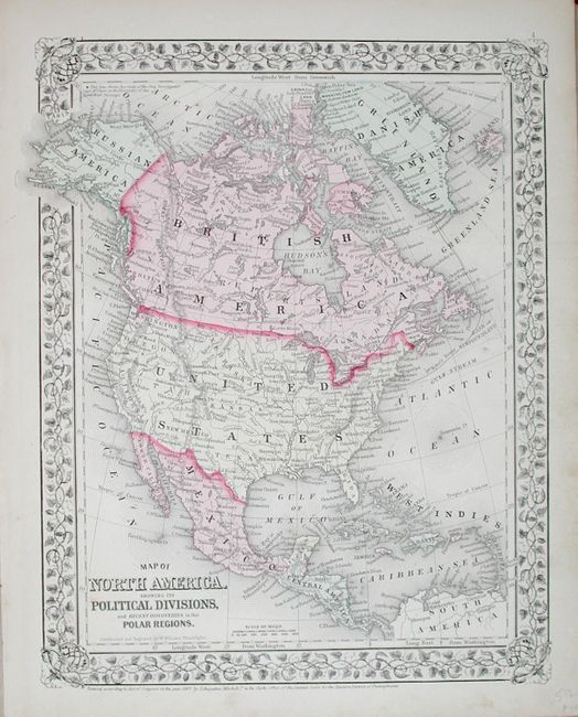
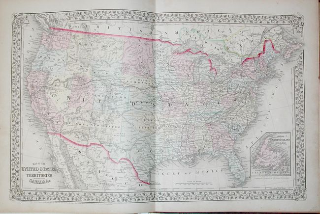
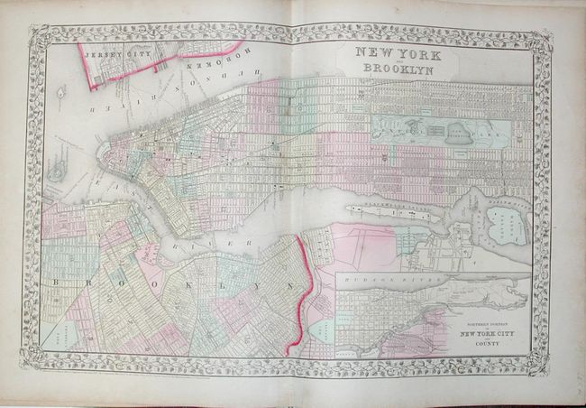
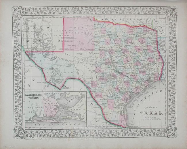
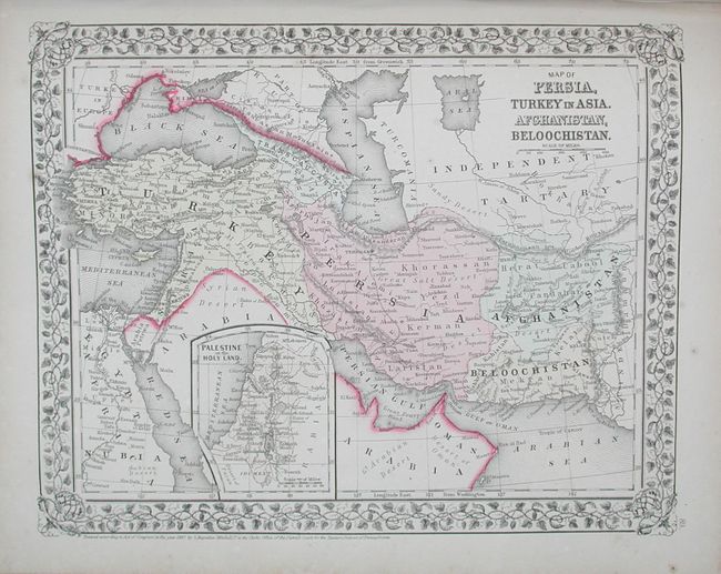
A partially broken atlas that is missing sixteen maps. Originally contained 95 maps on 67 sheets plus a full-page time table. This atlas is missing the following maps: Plan of Boston; Plan of the City of Philadelphia; Plan of the City of Baltimore; Plan of the City of Washington; Georgia and Alabama; Florida; Mobile; Utah and Nevada; Arizona and New Mexico; California; Northwestern America; Mexico; United States of Columbia, Venezuela, and Guiana; Ecuador and Peru; Argentine Confederation; and Austria, Italy, Turkey in Europe, and Greece. All maps feature Mitchell's decorative grapevine style border and fine hand coloring. Original binding quarter calf over embossed cloth.
References:
Condition: B
Binding cracked at front and covers are very worn. Index sheet loose at front. A few maps have a stain, other are very good. Remaining maps are tight in signatures.


