"[Lot of 2] Australia",
Subject: Australia
Period: 1840-50 (circa)
Publication:
Color: Black & White
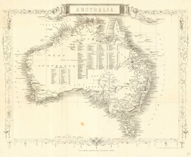
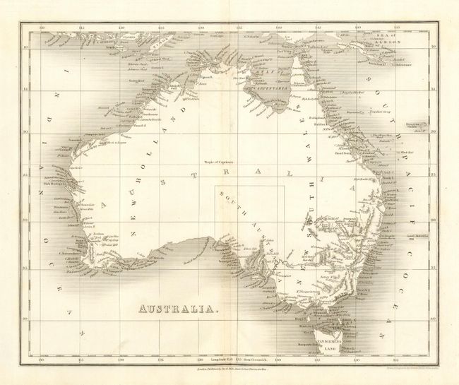
First is a nice map drawn and engraved by J. Rapkin and published by John Tallis, c. 1850 (12.6 x 10"). There is great detail along the coasts and the unexplored interior is filled with a table of the counties. Second (10 x 8.1") by J. Dower, c. 1840. Detail is confined primarily to the coasts and a bit of New South Wales. The territory of South Australia is shown by dotted lines.
References:
Condition: B
First with a couple of small spots and edge tears. Second with minor creasing at center.