Catalog Archive
Auction 111, Lot 709

"Carte Reduite de la Mer du Sud…", Bellin, Jacques Nicolas

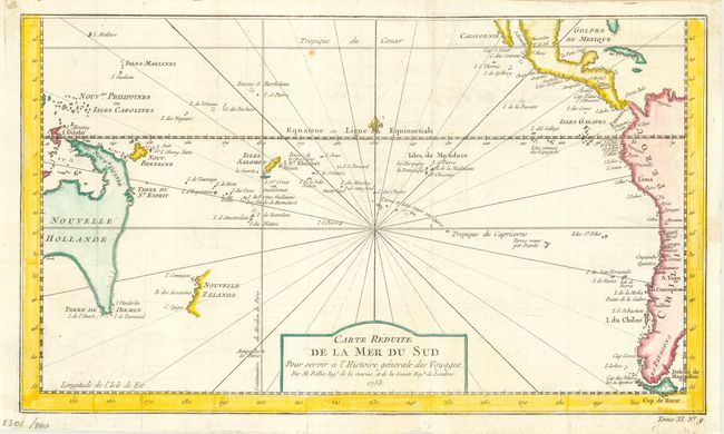
Subject: South Pacific

Period: 1753 (dated)

Publication: Histoire Generale des Voyages

Color: Hand Color

Size:
14 x 8 inches
35.6 x 20.3 cm
Download High Resolution Image
(or just click on image to launch the Zoom viewer)

A fine map of the South Pacific. Eastern Australia is shown with dotted lines connecting both Tasmania and New Guinea in a conjectural coastline. New Zealand is shown with only the western coastline. The Americas are shown from Baja California through Central America and the western coastline of South America including the Straits of Magellan and Cape Horn.

References:

Condition: B

Issued folded, now pressed. Binder's trim to neatline with paper added and 2" binding tear repaired with archival tape.

Estimate: $300 - $350

Sold for: $240

Closed on 6/8/2005

Archived