"Charte von America", Gussefeld/Homann Heirs
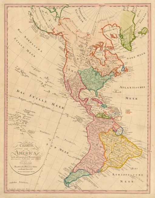
Subject: Western Hemisphere
Period: 1813 (dated)
Publication:
Color: Hand Color
Size:
17.5 x 22.5 inches
44.5 x 57.2 cm
An uncommon German map of the Americas with nice detail throughout. The United States is depicted with its new acquisition of Louisiana Territory but still confined east of the Rocky Mountains. The boundaries in the west, between both Canada and Mexico, are not delineated and the unexplored regions are left blank. The South American continent is very well mapped and filled with detail.
References:
Condition: B
Fine impression with original coloring. Tissue repair on centerfold and a couple of light spots.