Catalog Archive
Auction 111, Lot 695
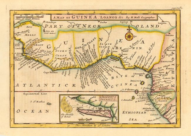
"A Map of Guinea, Loango &c.", Moll, Herman

Subject: Africa - Western
Period: 1730 (circa)
Publication:
Color: Hand Color
Size:
10.1 x 7 inches
25.7 x 17.8 cm
Download High Resolution Image
(or just click on image to launch the Zoom viewer)
(or just click on image to launch the Zoom viewer)

