Catalog Archive
Auction 111, Lot 656

"Sumatrae et Insularum Locorumque Nonnullorum Circumiacentium Tabula Nova", Jansson/Valck & Schenk

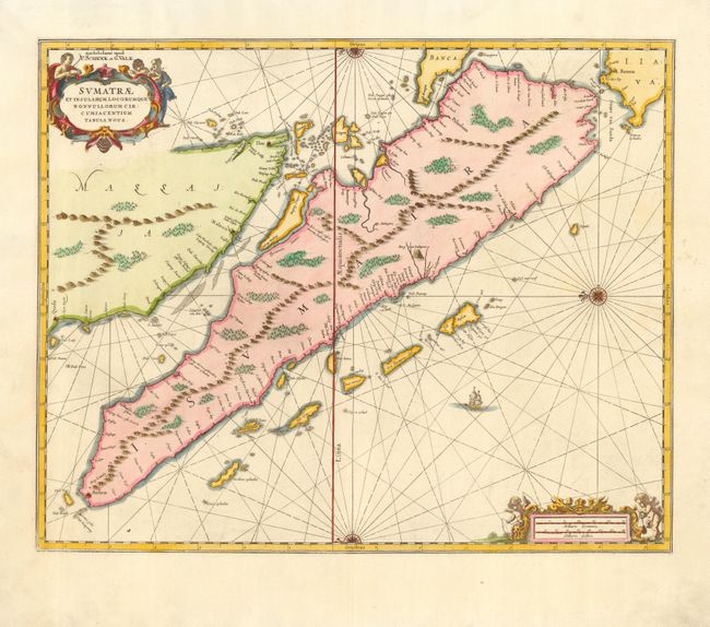
Subject: East Indies - Indonesia

Period: 1710 (circa)

Publication:

Color: Hand Color

Size:
20.5 x 16.5 inches
52.1 x 41.9 cm
Download High Resolution Image
(or just click on image to launch the Zoom viewer)

This beautiful map of Sumatra was originally published by Jan Jansson in the mid-seventeenth century. It was one of the earliest detailed depictions of Sumatra and remained the most important map of the region until well into the eighteenth century. The place name Senafur labels a promontory south of Ihor (Johor Baharu) in the vicinity of Singapore. Lovely compass roses, with radiating rhumb lines, orient the chart with north to the left. The map is further ornamented with two fine cartouches and a sailing ship.

References:

Condition: A

Light soil in margins, well away from map. Attractive later color.

Estimate: $800 - $900

Sold for: $650

Closed on 6/8/2005

Archived