Subject: Asia - Northeastern
Period: 1797 (published)
Publication: Atlas du Voyage de la Perouse
Color: Black & White
Size:
13.2 x 19.2 inches
33.5 x 48.8 cm
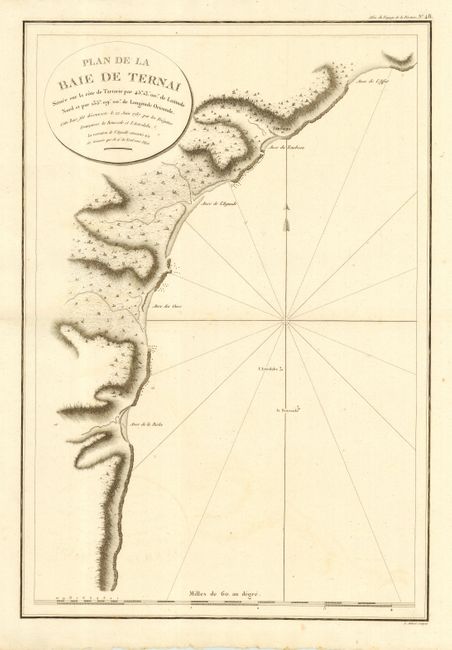
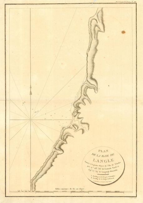
Pair of nice copper engraved plans depicting the discoveries made in Northeastern Asia by La Perouse in 1787. Both are detailed, large-scale charts of the coastlines with the anchorage sites of the Astrolabe and Boussole shown. Jean-Francois de Galaup, Comte de La Perouse commanded a French scientific expedition to the Pacific in 1785-88. Recognized as one the foremost naval commanders and navigators in France, he was selected by King Louis XVI to complete Captain James Cook's exploration of the western Pacific. After completing his explorations of Northeast Asia, he sent the ship's log, and the plans and maps that had been prepared, from Kamchatka overland back to Paris. He then continued on to the South Pacific and Australia, where the expedition perished in 1788.
References:
Condition: B
Couple of minor spots.