Catalog Archive
Auction 111, Lot 592
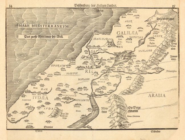
"Beschreibung des Heiligen Landes", Bunting, Heinrich

Subject: Holy Land
Period: 1584 (circa)
Publication: Itinerarium Sacrae Scripturae
Color: Black & White
Size:
15 x 10.5 inches
38.1 x 26.7 cm
Download High Resolution Image
(or just click on image to launch the Zoom viewer)
(or just click on image to launch the Zoom viewer)

