Catalog Archive
Auction 111, Lot 566
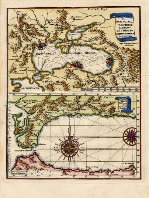
"Ponti Euxini cum Utroq Bosphorocimmerio et Thracio Hidrographica Exhibitio [on sheet with] Augusiae Maris Mediterranei Ad Fretum…", Scherer, Heinrich

Subject: Mediterranean and Black Sea
Period: 1710 (published)
Publication: Atlas Novus
Color: Hand Color
Size:
7.1 x 9 inches
18 x 22.9 cm
Download High Resolution Image
(or just click on image to launch the Zoom viewer)
(or just click on image to launch the Zoom viewer)

