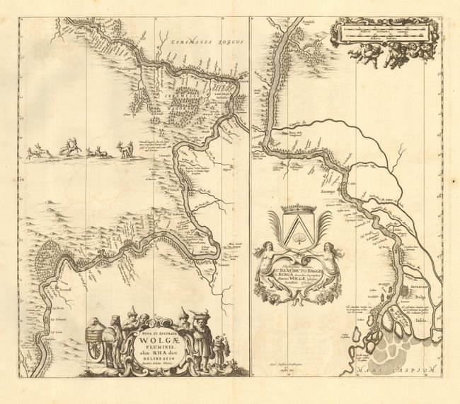
"Nova et Accurata Wolgae Fluminis, olim RHA dicti Delineatio Auctore Adamo Oleario", Jansson/Pitt
Subject: Russia
Period: 1680 (circa)
Publication:
Color: Black & White
Size:
21.5 x 18.2 inches
54.6 x 46.2 cm
This is Moses Pitt's scarce map of the Volga River in two parts based on the travels of Adam Olearius. The left side of the map begins at Nazhniy Novgorod and ends at Saratov. The right side continues to Astrakhan and the river's mouth on the Caspian Sea. Richly embellished with a figurative title cartouche featuring tribesmen and a camel, a distance scale with several chubby putti, a dedication cartouche with mermaids and a coat of arms, and a vignette of reindeer.
References:
Condition: B
Dark, early impression on fine hand laid paper with wide, original margins. A little offsetting, else fine.