Catalog Archive
Auction 111, Lot 493
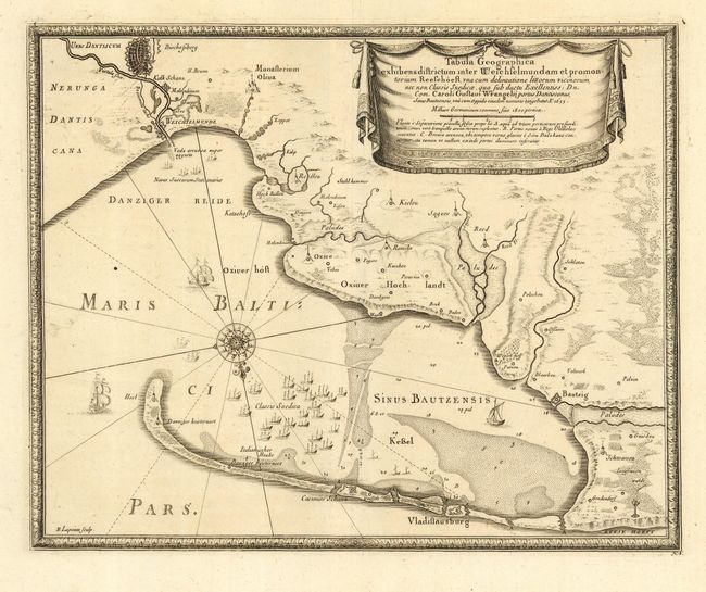
"Tabula Geographica exhibens districtum inter Weichselmundam et promontorium Reesehoeft", Pufendorf, Samuel, Baron von

Subject: Poland
Period: 1697 (published)
Publication: Histoire du regne de Charles Gustave, roy de Suede
Color: Black & White
Size:
13.2 x 10.7 inches
33.5 x 27.2 cm
Download High Resolution Image
(or just click on image to launch the Zoom viewer)
(or just click on image to launch the Zoom viewer)

