Catalog Archive
Auction 111, Lot 481

"Comitatus Schoenburgensis…", Homann Heirs
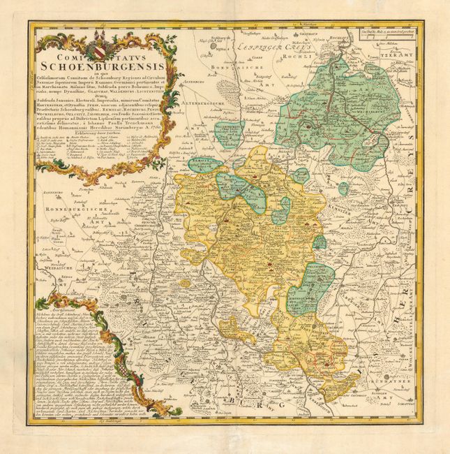
Subject: Germany

Period: 1760 (dated)

Publication: Atlas Homannianus Mathematico-Historice

Color: Hand Color

Size:
18 x 18.2 inches
45.7 x 46.2 cm
Download High Resolution Image
(or just click on image to launch the Zoom viewer)

Attractive map of the Saxony region centered on Glauchau from the surveys of Johann Paul Trenckman. The map is filled with information including churches, market towns, battlefields, mines, post offices, etc. with an extensive symbol key in the cartouche. Title and advertisement cartouches adorn the map.

References:

Condition: A

Minor tissue repair on fold and a couple of tiny holes in map, otherwise fine.

Estimate: $300 - $350

Sold for: $220

Closed on 6/8/2005

Archived