Catalog Archive
Auction 111, Lot 466
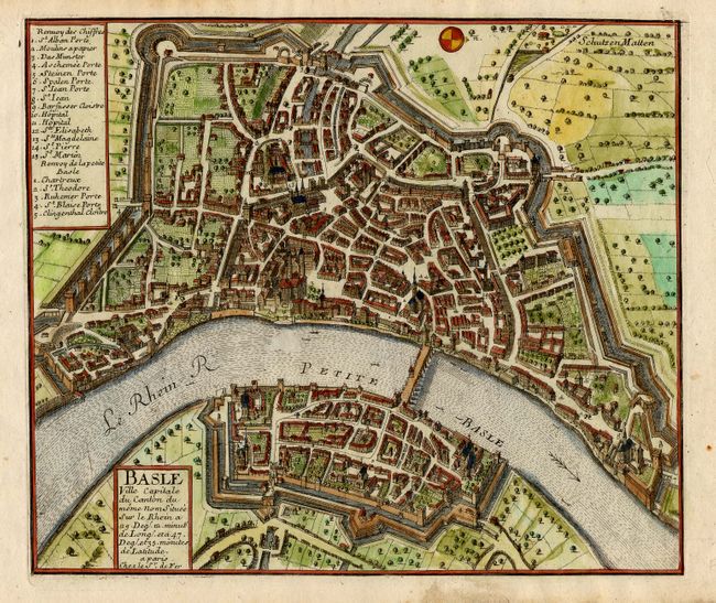
"Basle Ville Capitale du Canton du meme nom Situee sur le Rhein…", Fer, Nicolas de

Subject: Switzerland - Basel
Period: 1691 (circa)
Publication:
Color: Hand Color
Size:
10.3 x 8 inches
26.2 x 20.3 cm
Download High Resolution Image
(or just click on image to launch the Zoom viewer)
(or just click on image to launch the Zoom viewer)

