Catalog Archive
Auction 111, Lot 448
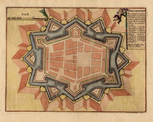
"Phalsbourg Place fortifiee de notre temps situee aux Frontieres d'Alsace et de Loraine…", Fer, Nicolas de

Subject: France
Period: 1696 (published)
Publication: Les Forces de l'Europe
Color: Hand Color
Size:
10.7 x 8.1 inches
27.2 x 20.6 cm
Download High Resolution Image
(or just click on image to launch the Zoom viewer)
(or just click on image to launch the Zoom viewer)

