Catalog Archive
Auction 111, Lot 432
"[Lot of 3] Exactissima Palatinatus Rheni ac Ducatus Bipontini Tabula [and] Tabula Geographica qua Pars Septentrionalis sive Inferior Rheni, Mosae et Mosellae… [and] Tabula Geographica qua Pars Meridionalis…", Visscher, Nicolas
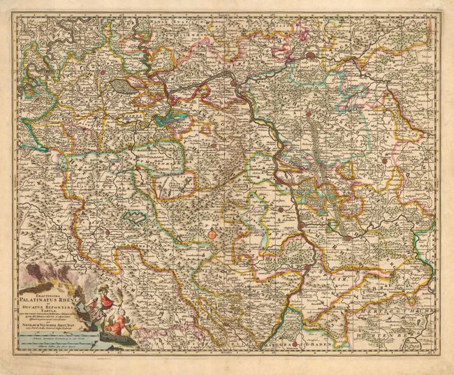
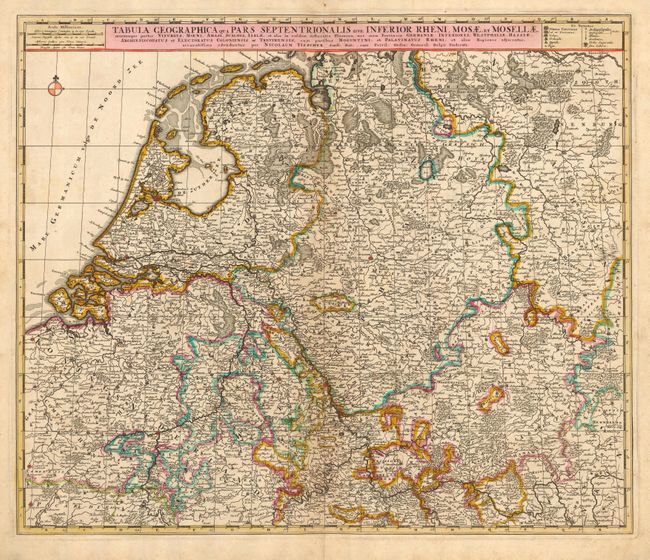
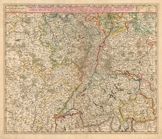
Subject: Central Europe
Period: 1680 (circa)
Publication:
Color: Hand Color
Size:
22.5 x 18 inches
57.2 x 45.7 cm
Download High Resolution Image
(or just click on image to launch the Zoom viewer)
(or just click on image to launch the Zoom viewer)