Catalog Archive
Auction 111, Lot 419

"Secunda Pars Brabantiae cuius Urbs Primaria Bruxellae", Blaeu, Willem
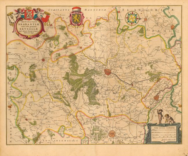
Subject: Belgium

Period: 1635 (circa)

Publication:

Color: Hand Color

Size:
20.3 x 16.1 inches
51.6 x 40.9 cm
Download High Resolution Image
(or just click on image to launch the Zoom viewer)

A very fine copper engraved map of the region surrounding Bruxelles drawn by Michael Floris van Langren, the mathematician and astronomer to the King of Spain. The map is oriented with north to the right and includes the cities of Mechelen, Leuven and Ninove, as well as the surrounding forests, villages, roads and canals. Nicely decorated with title cartouche, coat of arms, scale of miles, compass rose and four pudgy cherubs. German text on verso.

References: Van der Krogt (Atlantes) #3111:2.

Condition: B

Fine original color with light uneven toning and a couple of small spots.

Estimate: $200 - $250

Sold for: $160

Closed on 6/8/2005

Archived