Catalog Archive
Auction 111, Lot 415

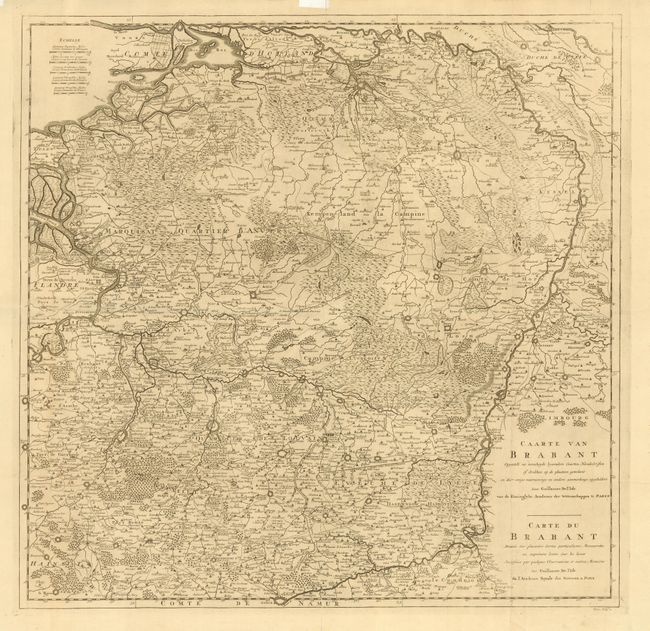
"Carte du Brabant Dressee sur plusieurs Cartes particulieres Manuscrites…", Delisle, Guillaume

Subject: Belgium & Netherlands

Period: 1705 (circa)

Publication:

Color: Black & White

Size:
25 x 24.5 inches
63.5 x 62.2 cm
Download High Resolution Image
(or just click on image to launch the Zoom viewer)

Large and detailed chart of the Duchy of Brabant covering parts of The Netherlands and Belgium primarily between the Maas River and the North Sea. The map includes fabulous information on the topography, cities and villages, fortifications, and roads. This edition is lacking the decorative cartouche, which is replaced with two titles - Dutch and French.

References:

Condition: B

Clean and crisp. Issued on two joined sheets and folded. Some separations along folds. Library stamp (Museum of French Art - New York) on verso.

Estimate: $180 - $220

Unsold

Closed on 6/8/2005

Archived