Catalog Archive
Auction 111, Lot 408
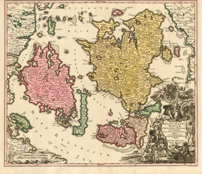
"Regni Danici Insulae Seelandia, Fionia, Lalandia, Falstria, Langelandia, Mona, cum adjacentibus geographica delineatione exhibitae", Seutter, Matthias

Subject: Denmark
Period: 1730 (circa)
Publication:
Color: Hand Color
Size:
22.5 x 19.3 inches
57.2 x 49 cm
Download High Resolution Image
(or just click on image to launch the Zoom viewer)
(or just click on image to launch the Zoom viewer)

