Subject: England
Period: 1839 (circa)
Publication: The English Counties Delineated…
Color: Hand Color
Size:
8 x 10.6 inches
20.3 x 26.9 cm
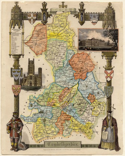
This decorative map of Cambridgeshire provides detailed information of the county, cities, towns, roads, canals and parks. The fine steel engraving includes vignettes of Wimpole and Ely Cathedral and an elaborate border with coats of arms, a king and a priest. Thomas Moule was a bookseller and writer on heraldry and antiquities. His well-known series of county maps are the last series of decorative county maps to be published in England and are an important addition to any collection.
References:
Condition: A
Trimmed into border at top, as is normal for maps from this publication. Tiny edge tear closed with archival tape.


