Subject: Britain
Period:
Publication:
Color:
Group of maps of the British Isles and English counties.
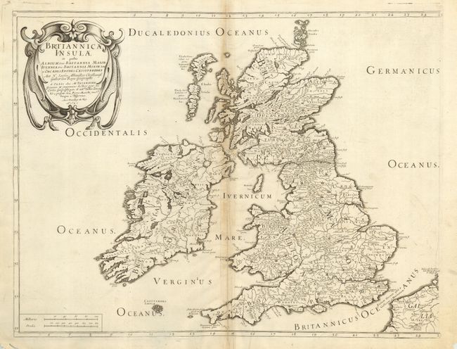
1) Brtiannicae Insulae, Sanson/Mariette, 1641, BW (20.3 x 15.6") B - Toned with old repairs on fold.
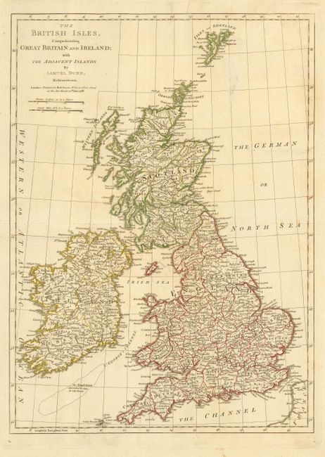
2) The British Isles..., Dunn/Sayer, 1786, hand color (12.3 x 17.1") B - Repaired 3 1/2" tear at top.
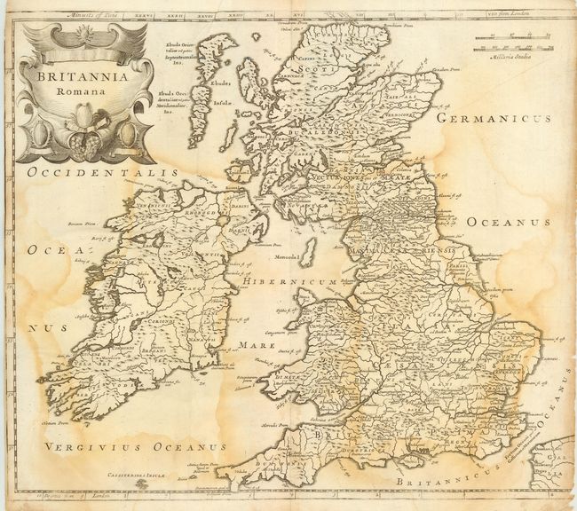
3) Britannia Romana, Morden, c. 1695, BW (16.2 x 14") D - Trimmed into map at left, extensive light damp stains.
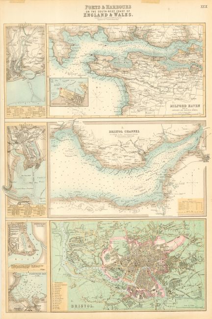
4) Ports & Harbours on the South-West Coast of England & Wales, Bartholomew, c. 1860, hand color (11.6 x 16.7") A.
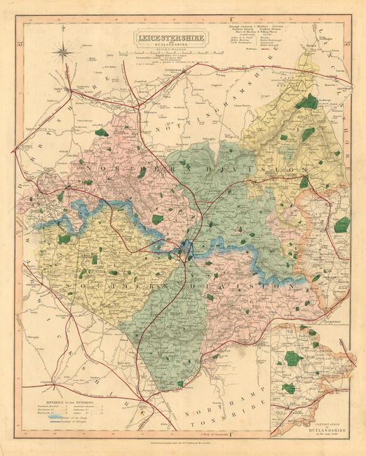
5) Leicestershire and Rutlandshire, J&C Walker, c. 1840, hand color (12.2 x 15.5") B - Minor surface soil.
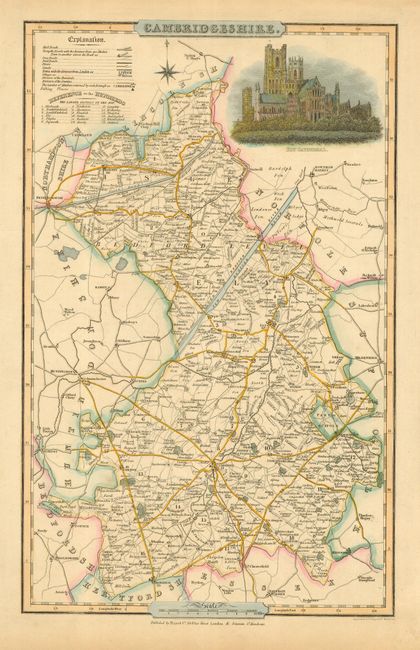
6) Cambridgeshire (with inset of Ely Cathedral), Pigot, c. 1838, hand color (8.8 x 14") A.
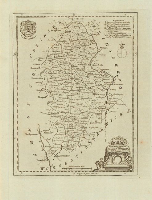
7) Staffordshire, Kitchin, c. 1760, BW (6.5 x8.5") A.
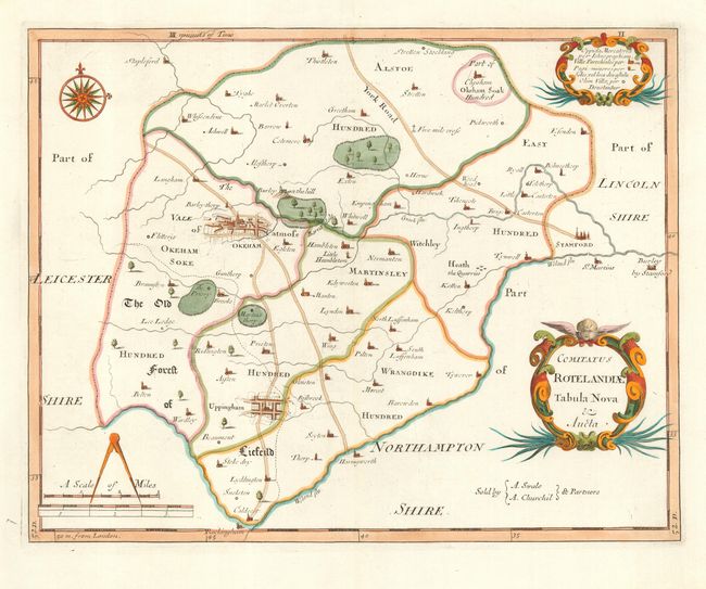
8) Rotelandiae Tabula Nova, Morden, c. 1695, hand color (14.1 x 11.1") A.
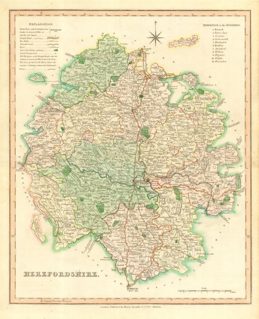
9) Herefordshire, Teesdale, c. 1835, hand color (13.2 x 6.1") A.
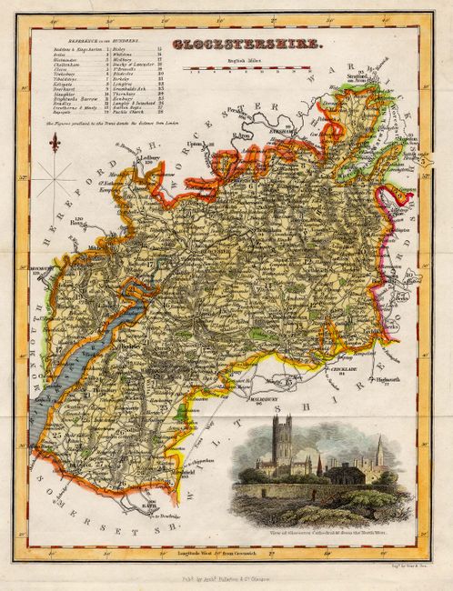
10) Glocestershire (with inset view of Glocester Cathedral), Fullarton, c. 1840, hand color (7.2 x 9.6") A.
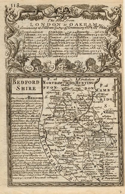
11) Bedfordshire (Road from the Ford at Norfolk to Norwich on verso), Bowen & Owen, c. 1720, BW (14.5 x 7") A.
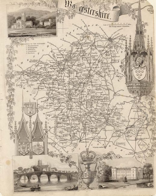
12) Worcestershire (with insets of Great Malvern, Worcester and Croom Court) Moule, c. 1845, BW (7.7 x 10") B - Trimmed into image with a couple of short edge tears.
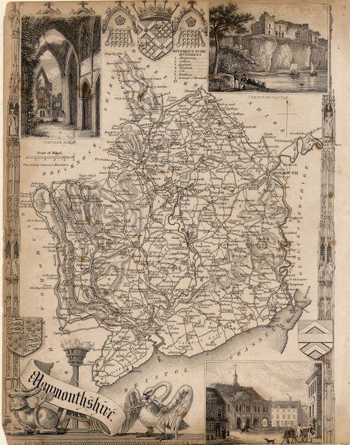
13) Monmouthshire (with insets of Tintern Abby, Chepstow Castle, and Monmouth), Moule, c. 1845, BW (7.7 x 10.4") C - Trimmed into image with some toning at edges and scattered foxing.
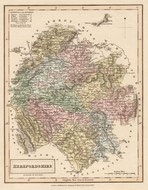
14) Herefordshire, Hall, 1833, hand color (7.3 x 9.5") A.
References:
Condition:
Condition varies, see individual descriptions.