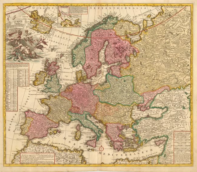
Subject: Europe
Period: 1700 (circa)
Publication:
Color: Hand Color
Size:
22.7 x 19.5 inches
57.7 x 49.5 cm
This detailed map of Europe was prepared by Adam Friedrich Zürner (1680-1742), a member of the Royal Prussian Academy of Sciences. His thoroughly executed work was later used as a source by several other cartographers. The map was drawn on the basis of new astronomical observations, which are listed below the cartouche. A small inset details the Arctic Sea between Iceland, Greenland and Nova Zembla. The beautiful cartouche features Europa being abducted by Zeus in the form of a bull. Above her head Mercury (wearing winged sandals and a helmet) holds a flag with the title of the map, and Minerva holds her shield with Gorgon and a lance, surrounded by putti.
References:
Condition: A
Attractive original color. Slight toning on centerfold with a professional repair at bottom.


