Catalog Archive
Auction 111, Lot 347

"Carte Reduite des Mers du Nord", Bellin, Jacques Nicolas
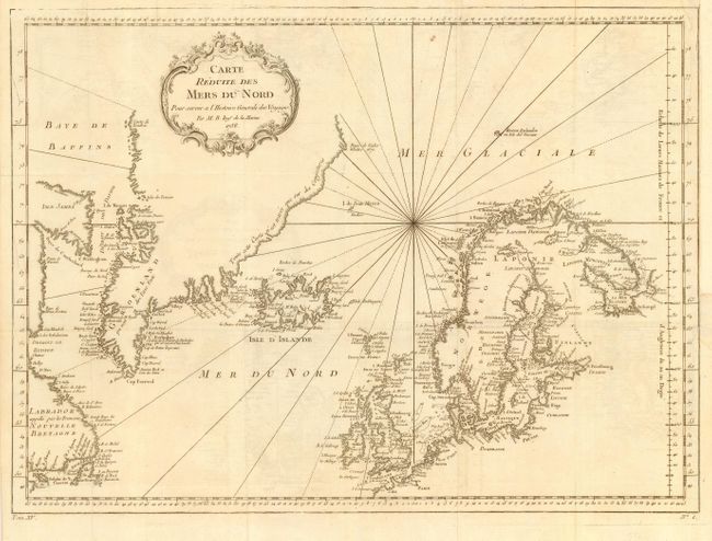
Subject: North Atlantic and Arctic Ocean

Period: 1758 (dated)

Publication: Histoire Generale des Voyages

Color: Black & White

Size:
17.7 x 13 inches
45 x 33 cm
Download High Resolution Image
(or just click on image to launch the Zoom viewer)

Copper engraved chart centered roughly on Iceland. Includes all of Great Britain, Scandinavia, the Baltic Sea, Gulf of Bothnia and the Gulf of Finland. In the west are a largely blank Greenland, Isle James and Labrador. A fine chart with decorative title cartouche and rhumb lines.

References:

Condition: A

Folding as issued with faint offsetting than can be easily erased. Margin extended at binding trim with repair on tiny binding tear into border.

Estimate: $140 - $160

Sold for: $100

Closed on 6/8/2005

Archived