Catalog Archive
Auction 111, Lot 346
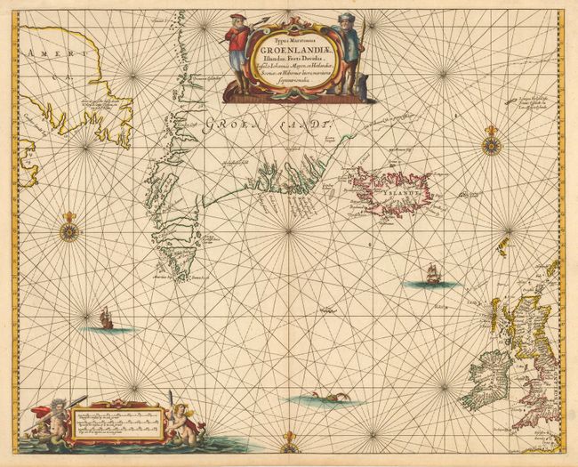
"Typus Maritimus Groenlandiae, Islandiae, Freti Davidis, Insulae Johannis Mayen, et Hitlandiae, Scotiae, et Hiberniae litora maritima Septentrionalia", Jansson, Jan

Subject: North Atlantic and Arctic
Period: 1659 (circa)
Publication:
Color: Hand Color
Size:
20.9 x 16.8 inches
53.1 x 42.7 cm
Download High Resolution Image
(or just click on image to launch the Zoom viewer)
(or just click on image to launch the Zoom viewer)

