Catalog Archive
Auction 111, Lot 333
"Carte de l'Extremite Meridionale de L'Amerique", Cook/Benard
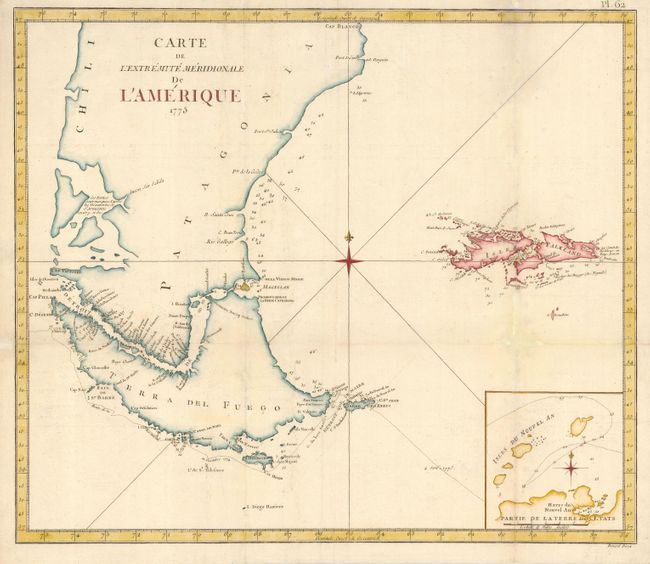
Subject: Argentina and Falklands
Period: 1775 (dated)
Publication: Voyage dans l'Hemisphere Australe et Autour du Monde
Color: Hand Color
Size:
19.4 x 16.7 inches
49.3 x 42.4 cm
Download High Resolution Image
(or just click on image to launch the Zoom viewer)
(or just click on image to launch the Zoom viewer)