Catalog Archive
Auction 111, Lot 269

"A New Map of the State of Wisconsin", Thomas, Cowperthwait & Co.
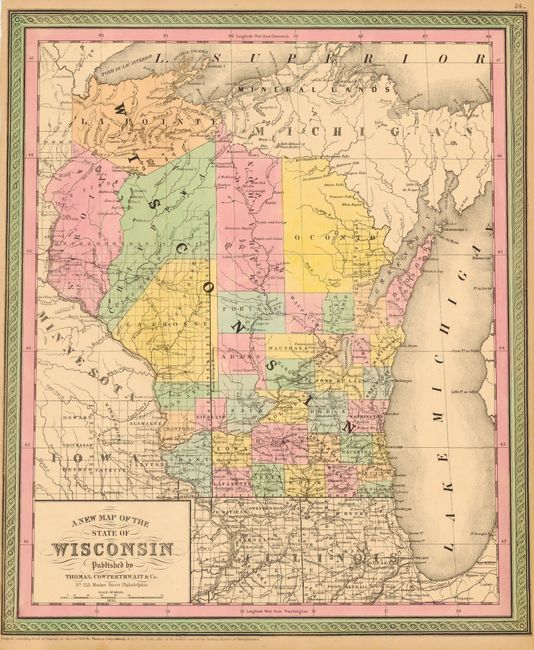
Subject: Wisconsin

Period: 1852 (dated)

Publication: Mitchell's New Universal Atlas

Color: Hand Color

Size:
13.3 x 15.7 inches
33.8 x 39.9 cm
Download High Resolution Image
(or just click on image to launch the Zoom viewer)

A nice map of the state full of details, especially in the southern half. Several Stage Roads are shown, but the only railroad extends from Milwaukee to Waukesha. Northern most development includes the huge counties of Oconto, Marathon, Chippewa, St. Croix and La Pointe.

References:

Condition: A

Nice original pastel coloring. Close trimmed at left (1/4").

Estimate: $100 - $120

Sold for: $55

Closed on 6/8/2005

Archived