Catalog Archive
Auction 111, Lot 259
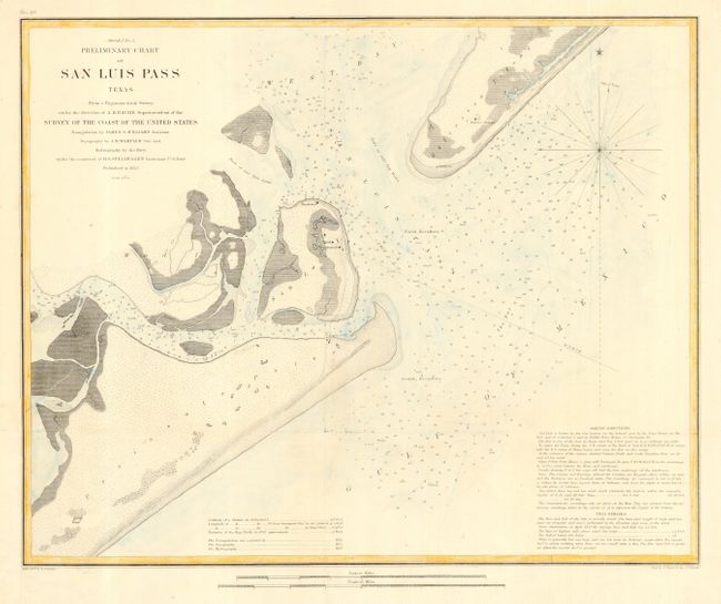
"(Sketch No. 4) Preliminary Chart of San Luis Pass Texas…", U.S. Coast Survey

Subject: Texas
Period: 1853 (dated)
Publication:
Color: Hand Color
Size:
17 x 13.6 inches
43.2 x 34.5 cm
Download High Resolution Image
(or just click on image to launch the Zoom viewer)
(or just click on image to launch the Zoom viewer)

