Catalog Archive
Auction 111, Lot 258
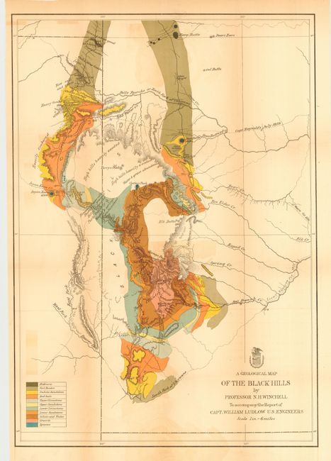
"A Geological Map of the Black Hills, by Professor N. H. Winchell, To Accompany the Report of Capt. William Ludlow, U.S. Engineers", U.S. Corps of Engineers

Subject: Dakota Territory
Period: 1875 (published)
Publication: Report of a Reconnaissance of the Black Hills of Dakota
Color: Hand Color
Size:
17.6 x 25 inches
44.7 x 63.5 cm
Download High Resolution Image
(or just click on image to launch the Zoom viewer)
(or just click on image to launch the Zoom viewer)

