Catalog Archive
Auction 111, Lot 251
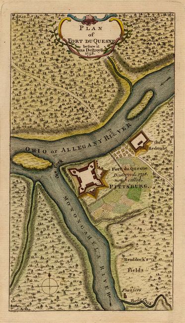
"Plan of Fort du Quesne before it was Destroyed", Anon.

Subject: Pennsylvania
Period: 1758 (dated)
Publication: Grand Magazine of Magazines
Color: Hand Color
Size:
4.1 x 7.3 inches
10.4 x 18.5 cm
Download High Resolution Image
(or just click on image to launch the Zoom viewer)
(or just click on image to launch the Zoom viewer)

