Subject: Boston Massachusetts
Period: 1860 (dated)
Publication:
Color: Hand Color
Size:
15.7 x 15.6 inches
39.9 x 39.6 cm
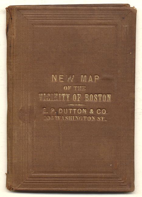
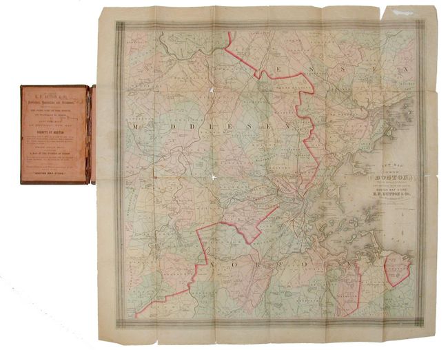
Pocket map, folding into brown gilt-lettered cloth case (3.6" x 5"). Hand colored by county and extending west to beyond West Acton, south to West Medway and north to well above Middlesex Village. The map is very detailed showing roads, villages and towns, railroads, ponds, academies, political boundaries, etc. Original paper label inside cover advertising other maps from the Boston Map Store and further referred to as "E.P. Dutton, Publishers, Booksellers and Stationers, Dealing in all kinds of Maps, Atlases, Globes and School Apparatus, 106 Washington St., Boston."
References:
Condition: B
Some fold intersection splits and a small area missing in upper margins, away from map. Cover sunned and with minor wear. Inside paper label with owner's name in ink.