Catalog Archive
Auction 111, Lot 217

"Maryland and Delaware", Morse & Breese

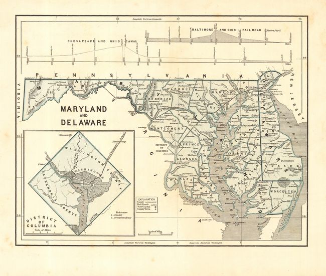
Subject: Maryland and Delaware

Period: 1842 (circa)

Publication: North American Atlas

Color: Printed Color

Size:
14 x 11 inches
35.6 x 27.9 cm
Download High Resolution Image
(or just click on image to launch the Zoom viewer)

This attractive map shows canals, railroads and the counties in the two states and has an inset plan of the District of Columbia. At top are profiles of the Chesapeake and Ohio Canal and the Baltimore and Ohio Railroad. This map was produced with the cerographic process that was the first use of printed color in maps, pioneered by Morse & Breese.

References:

Condition: B

Some light foxing mostly in blank margins.

Estimate: $100 - $150

Sold for: $75

Closed on 6/8/2005

Archived